Lake Kawaguchi, Fujikawaguchiko, Japan by Jase Boor

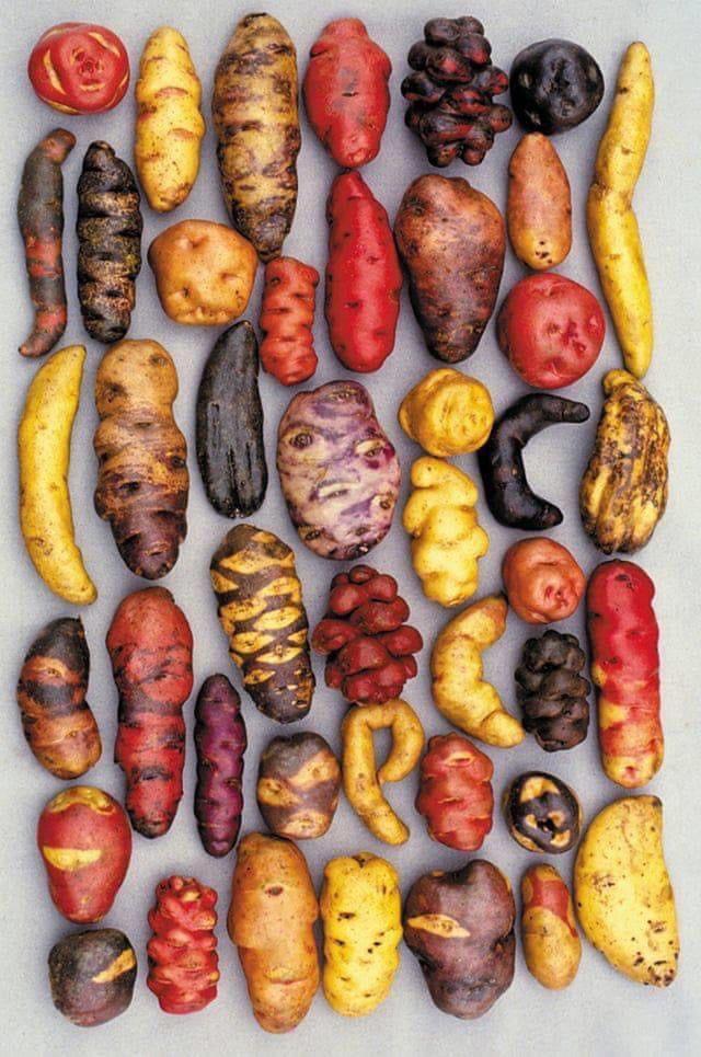
Permaculture FTW!
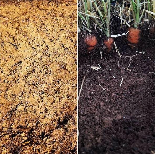
The changes in desert soil after about 8 months. 100% free and natural using leaves, kitchen scraps, animal manure etc.
It's official! Joe Biden just signed the executive order that will bring the United States of America back in the Paris Climate Agreement.

Author of the photo: @ZekeJMiller on Twitter